
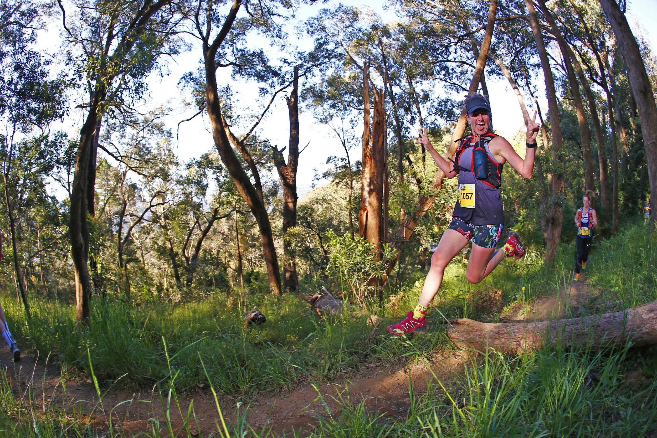
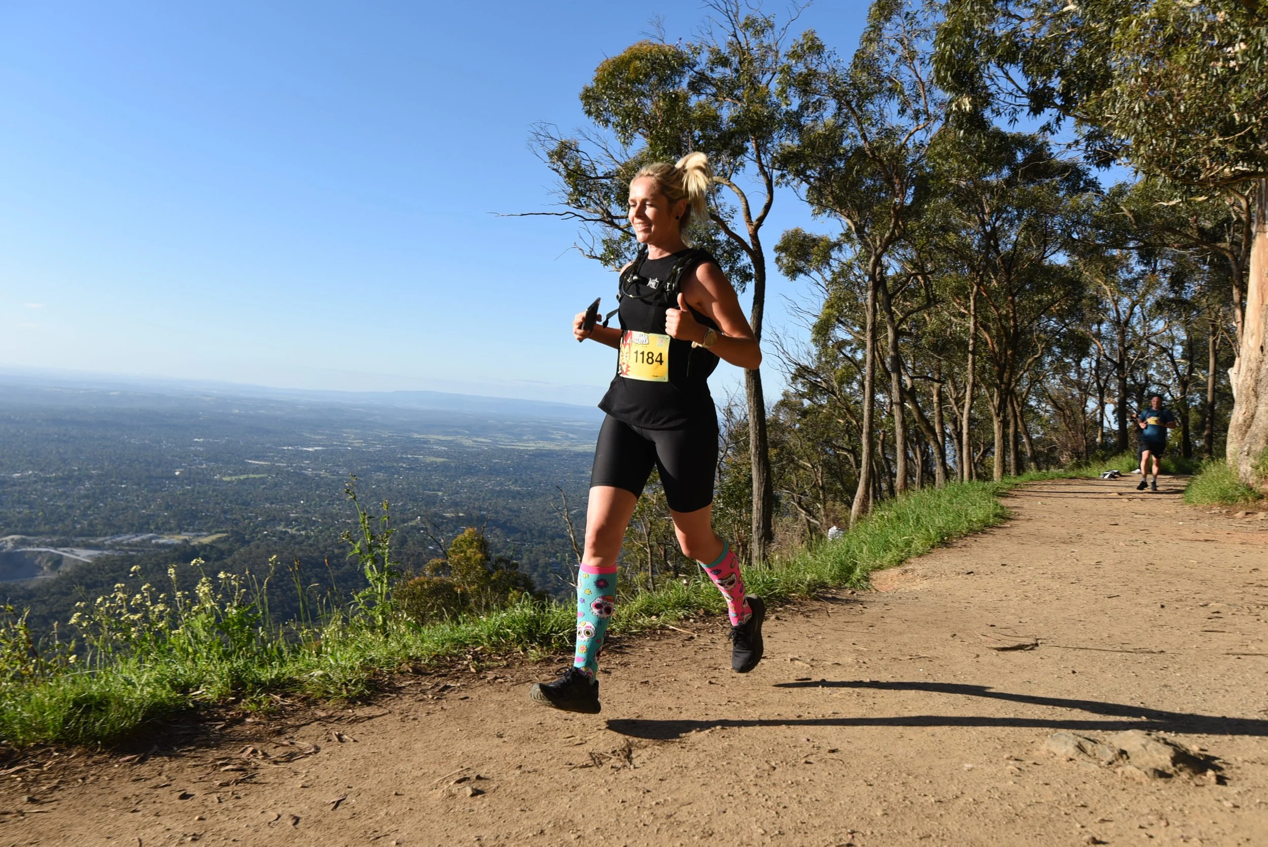
12k Twilight Mad Mouse
6:00 pm saturday, october 17 2026
Where: Kalorama Memorial Reserve
Distance: 12.4 km
Elevation: 570+-
Cut-Off: 3hrs
Course Description
Commencing at the Start/Finish Event Village at Kalorama Memorial Reserve, runners depart the reserve along Hands Rd, then Jasper Rd and continuing to Old Coach Rd. These low traffic roads will be marshalled for clear direction.
Turn right onto Old Mountain Rd and then left onto Fireline Track until you get to Observatory Track. Turn Left and commence the steep climb to the top of the Mountain!
A right turn onto Kyeema track, runners follow this trail across the hillside catching a great view as they go at Burkes Lookout, before a fun descent down the zig zags through tall Mountain Ash and Rainforest Ferns.
Before reaching Doongalla, 12k runners turn right onto the Dacite Track and then into Fireline Track and Singleton Terrace, joining up with the longer course again. Runners then gradually climb toward Kalorama Park.
Runners then return along Old Coach Rd, Jasper Rd and Hands Rd to the Event Village at Kalorama Reserve.
This course is true to its name: Mad!
THE COURSE
AVENZA MAPS
We highly recommend everyone downloads the AVENZA Map for the race before the Event. If you do not have a way of loading a gpx file into your watch, this is the next best thing to allow you to get back on course if you are unsure where you are. Course tampering does happen, or people miss a turn easily in trail running. So you need to have a map to know where you are.
Download the AVENZA Map App to your phone and in the Store search for the Keywords “Roller Coaster Run 2025 12k”. Then click “Free” and it will download the map for offline use on your phone. If you open the map, as long as you have enabled AVENZA to use your location, you will be able to locate where you are on the map and which way you are facing by clicking the little arrow. You can open and use this map even with no reception.
When you have the map open, have a play around. It is very useful. You can see the coordinates of the pointer down the bottom of the screen as you pan around the map. You can also press the draw icon in the bottom left to measure the distance between points.
Event Details
-
Race Entry
GST and registration platform fees
Professional on-course sports photography for purchase
Coveted finishers medallion
Fully marked course
Expert event medical support
On-course nutrition and refreshments
Professional event timing
Live real-time results via on-course checkpoints
-
Start to Singleton Terrace Aid: 7.8 km, 355 m+, 496 m-
Singleton Terrace Aid to Finish: 4.6 km, 217m+, 76m-
-
Crew are allowed to see their runners at any point along the course. We do not have any rules which restrict runners from receiving aid from crew outside of the checkpoints.
-
Fully charged Smart Phone that is switched on.
A Head Torch or any good working torch that isn’t a phone!
500ml of liquid storage capacity
(WET WEATHER ONLY) Waterproof Jacket with hood. Must be made with a waterproof and breathable membrane. The hood must be attached to the jacket by the original manufactured design and must be seam sealed. Must be suitable for protection in bad weather in the Mountains.
GPS on watch or AVENZA Map on phone (recommended, not mandatory)
-
There is no qualification required to race this event. It is a great first time Trail Race!
-
Monday to Friday Race Week, 10 AM - 6 PM
Bib collection at Runners Paradise Shop. Runners will need to bring a photo of the following mandatory gear to receive their BIB, as per the guidelines HERE:
46k/23k - Waterproof Jacket and Snake Bandage
12k - Waterproof Jacket and Torch
Address: Shop 1/130 South Parade, Blackburn VIC 3130
SATURDAY Race Day
4:00 pm - Bib Collection Opens - 12k